|
Snowdonia Mountains Winter Season 2020/21

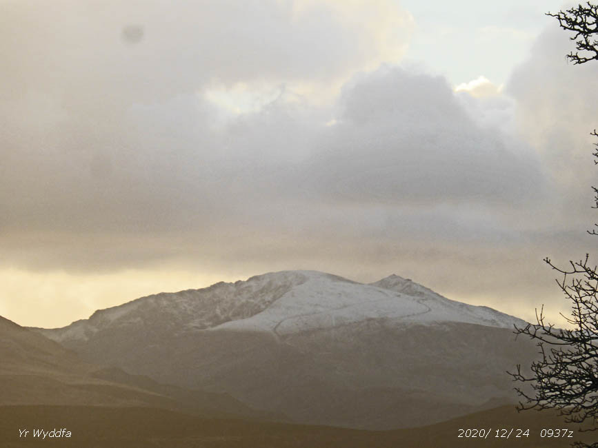
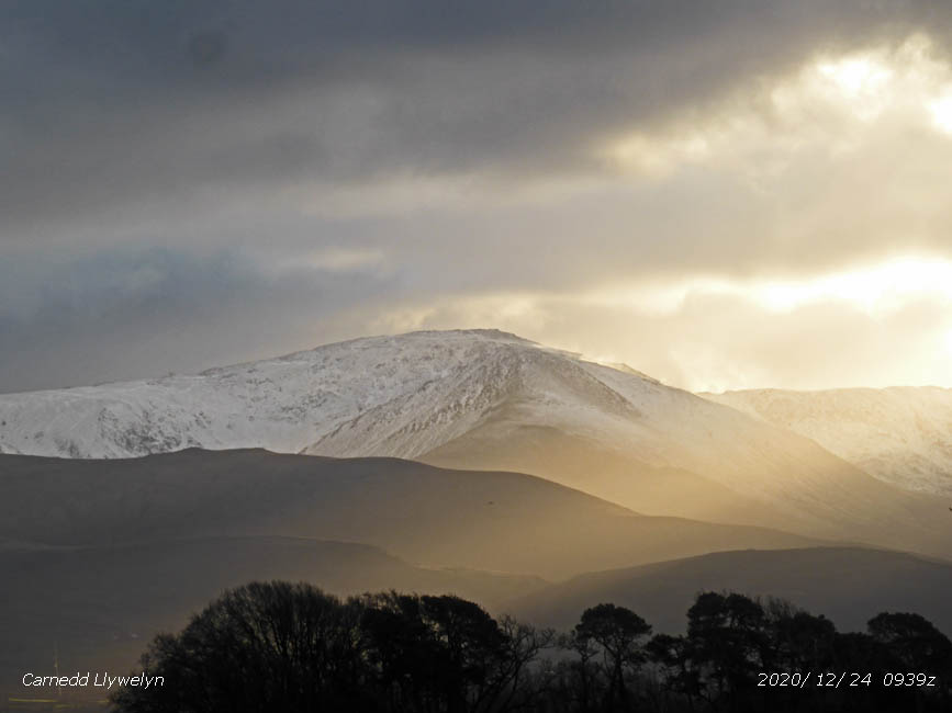
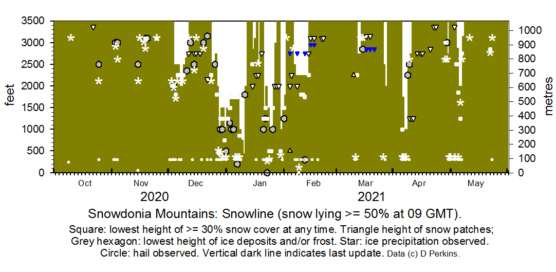
October 2020 Snow fell on Cairngorm on the 1st, but soon disappeared, there was a little broken snow on the 10th. Ice precipitation was seen on Y Garn and other Snowdonia summits on the 25th late in the afternoon. November 2020 Snow fell on Penyfan in the Brecon Beacons on the 3rd, ice precipitation fell on the Snowdonia summits during the day and there was snow on Cairngorm on the 4th and 13th. The first snow of the season to settle and produce a covering fell on Yr Wyddfa, Snowdon, and highest summits of the Carneddau on the 19th November, later than usual. December 2020 There was ice precipitation, snow likely at high altitude, overnight on 2/3rd. Snow had settled above 2000 ft in the afternoon when the cloud lifted. January 2021 Covid-19: Wales in under alert level 4 lockdown. This means you must not drive to Snowdonia from anywhere for recreational purposes, it is not regarded as an essential journey. You can take exercise walks in the hills locally, but you must start and finish at home and not take risks that would put extra pressure on emergency services. The car parks are closed and the police will turn you away. Vehicles have been towed away and fines issued. On the 1st snow was lying at 1500 ft with 30% cover at 1250 ft, rising to 1800 ft with 30% cover at 1500 ft on the 3rd. Further snow at times up to the 5th generally above 1000 ft with some heavier falls, particularly at higher altitude. The Eryri Warden reported deep snow on the Llanberis path to Snowdon.
February 2021 Snow was lying at 1800 ft with 30% cover at 1500 ft on the 1st that became broken leaving on the 3rd lines of old drifted snow on north facing slopes as low as 500 ft. Snow patches and some old cornice snow was seen on the 4th and 5th at 3000 ft, with frequent snow patches at 2250 ft. Snow fell overnight 5/6th leaving a slight covering above 2500 ft. On the 7th snow was lying at 2250 ft and was lying thinly and broken on the 8th with remnants at 2000 ft and below in places. On the 10th some more snow had fallen moderate above 2500 ft on the Carneddau, with cornices on some cliffs, the snowline was at 2250 ft and 30% cover at 1800 ft. Most snow had thawed by the 15th.
March 2021 There was no snow on the mountains on the 1st of the month. Light hail and snow fell on the 11th and was lying at 2750 ft on the morning of the 12th remnants at 2850 ft survived until the 17th. Light snow fell on the 26th lying at 2500 ft and again on the 27th at 2000 ft.
April 2021
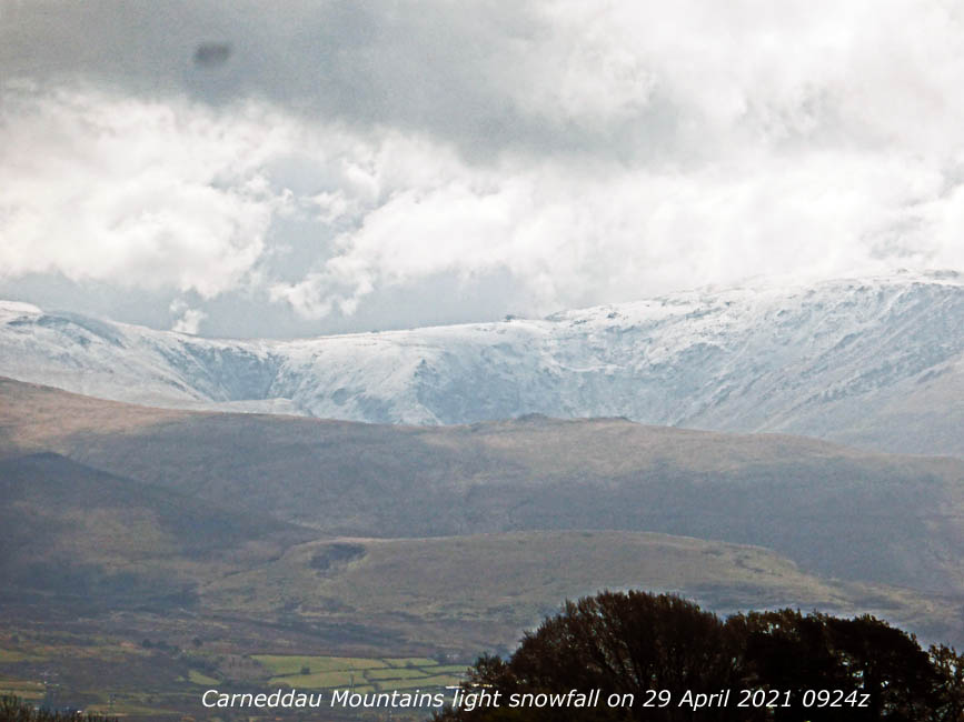
May 2021 There was a little snow on the highest summits on the 1st of the month. fresh snow fell on the 4th and was lying at 2875 ft in the morning with some as low as 2500 ft eastward of Carnedd Llewelyn. On the 5th light snow was lying at 2000 ft with some as low as 1850 ft. More snow had fallen on the 6th with sprinklings as low as 1250 ft in places, but this soon thawed leaving the snowline at 2000 ft. On the 7th slight snow (60% cover) remained at 3150 ft with remnants in places at 2750 ft.
NotesObservations are made as near to 0900 GMT as possible. I have a good view from Llansadwrn, weather permitting, across the Menai Strait towards the Snowdonia Mountains. I can see the northern slopes of the mountain range from Moel Eilio (west of Snowdon), Snowdon summits (Yr Wyddfa and Crib Goch), the Glyderau and Carneddau to Foel-fras and Drum to the east of the range near the Conwy Valley. With the aid of binoculars I make daily records that include any ice precipitation observed, the lowest altitude of snow lying at ( >= 50% cover), at ( >= 30% cover) and snow patches. I aim to update the diagram during the season at least twice weekly if there is any snow.
|


