|
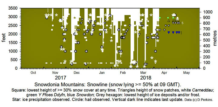
Snowdonia Mountains Winter Season 2017 - 18
October There was no snow seen in October. Some ice precipitation was seen on the ground on Cairngorm Mountain on the 29th early in the day' November
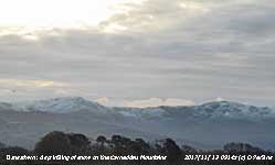
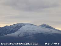
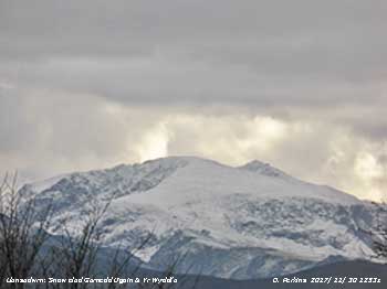
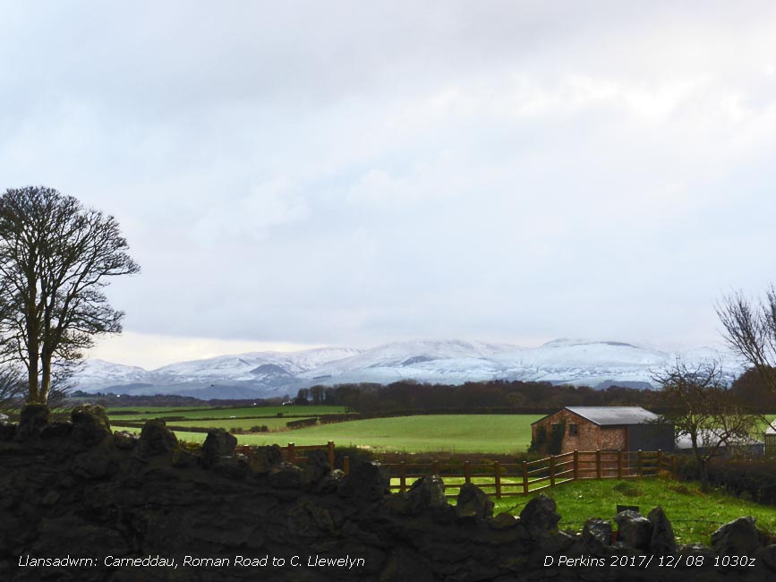
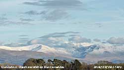
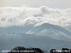
A sprinkling of ice precipitation was seen again on Cairngorm Mountain on the 2nd with remnants on the 3rd. Snow is forecast for Snowdonia for the 4/5th, that may be a significant amount, as low as 2000 ft. Cloud persisted around the summits all day on the 5th and in the event there was not as much snow as hoped for, but John Williams reported that both Carnedd Dafydd and Carnedd Llewelyn were cold enough to receive snow showers and they left a light sprinkling. Temperatures at 1000 metres hovering between -1 and 0 degrees. Above cloud base at 900 metres/2950 feet there was a light covering of snow at the top of the two summits by early evening. Some wintry showers around the summits on the 7th and on the 12th frequent showers of snow pellets at low levels; snow pellets and snow showers left sprinklings above 2250 ft and covering some of the highest summits and Snowdon. There was a good covering seen on the NW flank, and on the Carneddau, when the cloud lifted in the afternoon. After a cold night -5C on on the summit on the morning of the 13th a light covering of snow still remained. There was a little ice precipitation around the summits on the 18th. At 09 GMT on the 23rd there was a sprinkling of snow on Carnedd Llewelyn as low as 2650 ft (810m). The mountains appeared clear of snow on the morning of the 24th then wintry showers developed later. The 25th had a light dusting of snow as low as 1250 ft in places, mainly above 2250 ft in the afternoon. Further showers and flurries on the 26th with light lying snow in places above 2500 ft, with the summit of Snowdon well iced, only to mostly thaw overnight 26/27th in warm sector air. Wintry showers returned on the 27th around the highest summits and later in the day at lower level. Showers continued overnight, mainly wet soft hail (snow pellets) at low levels, with sparse snow and hail lying above 2500 ft, with remnants of hail on the ground as low as 1000 ft in the morning. . December
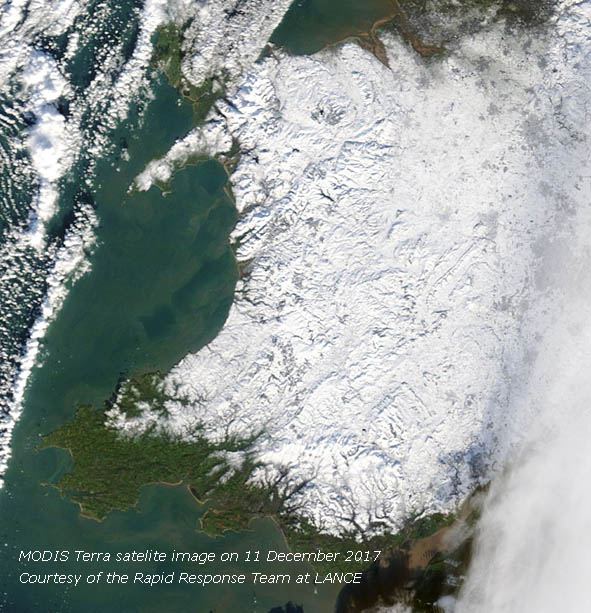
There was snow on the tops on the 1st and was lying at 2500 ft with remnants at 2250 ft. Ice precipitation continued at times on the 2nd and 3rd with varying temperatures and amounts on the ground until the 4th when precipitation was mainly sleet. On the 6th there was no snow seen on the Carneddau, Snowdon was in cloud. Significant snowfall was forecast for Friday/ Saturday 8/9th. The Met Office issued a yellow warning...mainly Scotland, Northern Ireland and Wales on Friday. 2-5 cm of snow is likely for some, with 10-20 cm possible over high ground... Updated at 1115 GMT on the 6th impact level from low to medium
Met Office Amber Warning issued 0951 GMT ... Between 04:00 Sun 10th and 18:00 Sun 10th
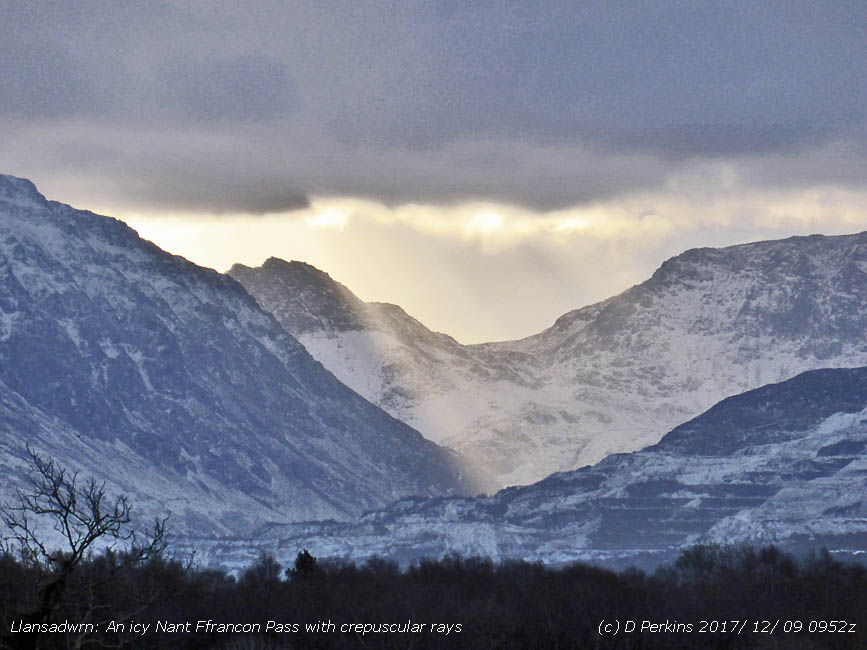
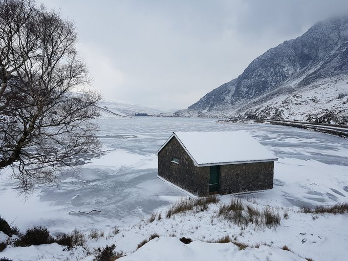
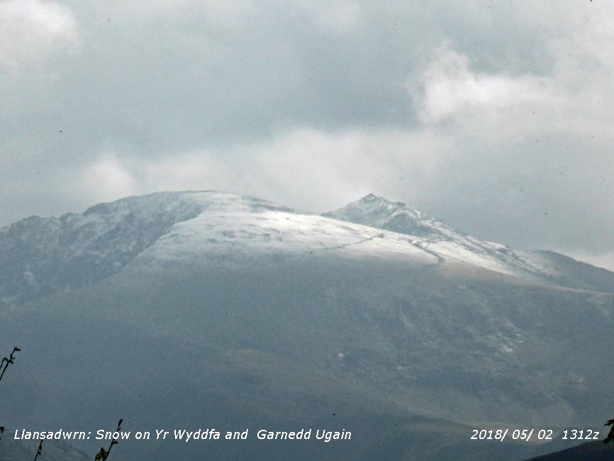
A spell of heavy snow is likely over parts of Wales, the Midlands and parts of Northern England... Overnight 25/26th fresh snow fell and on the morning of the 26th was lying above 2500 ft on the Carneddau with drifts in places and had settled as low as 2000 ft in places. More snow fell and on the 27th snow was lying above 2250 ft with 30% cover at 1800 ft. On the 28th there were icy remnants in places as low as 250 ft, or lower, with 30% cover above 1800 ft on the Carneddau, light to moderate snow was lying generally at 2250 ft and above, deeper in places in drifts. Snow cover persisted until the 29th then became broken on the 30th and with rain overnight 30/31st some old snow drifts and cornices remained on the 31st with frequent small patches persisting as low as 2250 ft. January On the 1st there were small snow patches some as low as 2250 ft, a few old drifts and cornices in a few places. Wintry showers continued at times and on the 2nd with little accumulation taking place. Ice precipitation showers continued at times around the highest summits on the 3-4th and more overnight 4/5th left light snow lying at 2250 ft on the Carneddau, most NW flank of C. Dafydd at 0900 GMT on the 5th, with sprinklings seen as low as 2000 ft. Snow continued present around the summits 6th to 8th, wintry showers on the 9th with snow on the summits and frost/ ice to low levels. After rain frequent small snow patches with some large at 2750 ft remained on the 10th. Colder on the 12th, Snowdon -7C (chill -15C) at 09 GMT, showers of ice precipitation resumed on the 13th & 14th with 30% cover at 3000 ft. Sleet turning to snow overnight 15/16th left light snow lying above 2500 ft with a 30% cover as low as 2250 ft on the morning of the 16th. Snow at times on the 17th around he summits with little change in levels, but rain overnight 17/18th reduced the cover on the 18th to above 2950 ft. Colder again with snow settling later in the day and on the 19th restored the snowline to 2500 ft with some at 2000 ft on the slopes of the Carneddau and 1250 ft near Ogwen. Fresh snow in the morning of the 20th settled at 1000 ft at Ogwen and the A5 during the day. Warm sector air and rain overnight 21/22nd left only snow patches on the 22nd, large at 2650 ft with remnants of snow at 2250 ft. On the 23rd some snow patches and icy remnants reduced on the 24th in warm rain. Ice precipitation on the 25th gave fresh sprinklings around the summits and as low as 2250 ft in places. Snow overnight 25/26th left light lying at 2750 ft on the 26th and isolated patches and light snow on the 27th above 2850 ft. By the 30th there were icy remnants over 3100 ft on the Carneddau. Early hail and snow showers on the 31st left sprinklings mostly above 3000 ft and as low as 2500 ft on the NW slopes of Garnedd Ugain. February On the 1st snow overnight had left a slight covering above 2000 ft and as low as 1800 ft on the lower slopes of the Carneddau. On the 4th snow lying at 2500 ft and 30% cover as low as 2000 ft. On the 5th a band of snow encroached early in the morning and brought snow to low levels including Anglesey and parts of Llyn with moderate falls above 1000 ft on the mountains. On the 6th snow fell at low levels in the morning with moderate falls over 1000 ft. Further snow fell on the morning of the 7th, again at low levels with the area around Llyn Ogwen well covered. On the 8th temperatures rose during the day with snow thawing at lower levels. The 10th saw warm rainfall with rapid thaw in the afternoon at all levels before temperatures fell again overnight. There were fresh dustings of snow and snow pellets on the morning of the 11th as low as 2250 ft on the Carneddau and elsewhere. On the 13th a band of rain turning to sleet then snow moved across from the WNW in the morning with snow settling and lying at 650 ft and light to moderate falls over 1000 ft. The 14th was very windy with snow showers generally over 1000 ft. From the 15th broken snow areas persisted along with frequent old drifts, frozen ground and hard snow. Areas of snow on the tops of the Carneddau including Foel-fras on the 17th with some snow filled north-facing gullies persisting with remnants as low as 1800 ft in places. March On the 1st snow was lying generally above 500 ft with remnants as low as 250 ft in places. In sub zero temperatures flurries of ice precipitation continued through the day at all levels and at times on the 2nd with little change in altitude on the 3rd. On the 4th there was a thaw at low levels raising the snowline to 2750 ft leaving remnants as low as 250 ft, but temperatures were still below zero on the summits and snow showers continued to accumulate. Further snow showers on the summits on the 5th early and late in the day, frequent old drifts remain on the lower slopes of the Carneddau with remnants at 250 ft. Fresh light snow above 2500 ft on the 6th topped up again on the 7th above 2500 ft. Early on the 8th an occluded front moved in from the west bringing at first rain then turning to snow with between 2 April Snow patches remained on the north-facing Carneddau and Snowdon until the end of the month, but south-facing Y Foes Ddyfn (The Deep Cut) on Carnedd Llewelyn that had a good amount of snow in it on the 19th was empty before the end of the month. May
NotesObservations were made as near to 0900 GMT as possible. I have a good view from Llansadwrn, weather permitting, across the Menai Strait towards the Snowdonia Mountains. I can see the northern slopes of the mountain range from Moel Eilio (west of Snowdon), Snowdon summits (Yr Wyddfa and Crib Goch), the Glyderau and Carneddau to Foel-fras and Drum to the east of the range near the Conwy Valley. With the aid of binoculars I made daily records that include any ice precipitation observed, the lowest altitude of snow lying at ( >= 50% cover), at ( >= 30% cover) and snow patches.
|


