| 1 |
| |
 |
|
| |
|
|
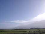
| Looking SE towards the Menai Strait and the mainland mountains beyond Llanfairfechan and Penmaenmawr.
|
|
|
| 3 |
| |
 |
|
| |
|
|
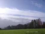
| Edge of the front looking SW from near the weather station.
|
|
|
| 2 |
| |
 |
|
| |
|
|
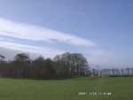
| Looking NW towards Holyhead.
|
|
|
| 4 |
| |
 |
|
| |
|
|
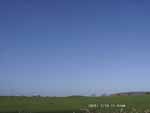
| The sky was clear looking N towards Liverpool Bay, smoke haze (slightly coloured) can be seen near the horizon.
|
|
|
| 5 |
| |
 |
|
| |
|
|
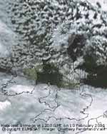
| The Meteosat 8 image at noon showing the position of the frontal cloud band. To the N it was colder; deep convective clouds gave snow showers on high ground in Scotland during the day.
|
|
|
| 6 |
| |
 |
|
| |
|
|
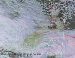
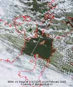
| The NOAA 16 image at 1313 GMT shows the cloud a little further S, but it was to edge N again by the end of the afternoon as it slowly circulated the low.
|
|
|
| 7 |
| |
 |
|
| |
|
|
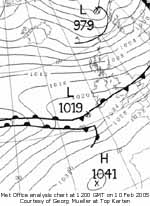
| Met Office analysis chart at 12 GMT showing shallow frontal low to the SW of Anglesey.
|
|
|
